Parcel Viewer & Summary Tool
IMPORTANT NOTICE – Map Viewer Transition
Cache County GIS is transitioning its public mapping applications from ArcGIS Web AppBuilder to ArcGIS Experience Builder. All users are encouraged to begin using the new Experience Builder viewer as soon as possible to take advantage of improved performance, enhanced functionality, and continued feature development.
Beginning in Q4 2026, the legacy ArcGIS Web AppBuilder viewer will enter maintenance mode. No new features, enhancements, or application updates will be made to the legacy viewer after that time.
The existing Web AppBuilder viewer will remain available until it is permanently retired Q2 2027. To ensure uninterrupted access to Cache County GIS mapping services, please update any bookmarks or saved links and begin using the new Experience Builder viewer at your earliest convenience.
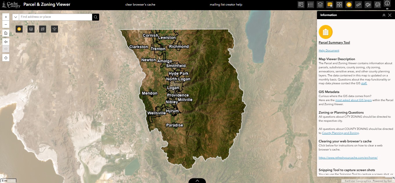
Click below to enter NEW map viewer
Curious where the GIS data comes from? Here are the most asked about GIS layers within the Parcel & Zoning Viewer.
All questions about CITY ZONING should be directed to the respective cities. All questions about COUNTY ZONING should be directed to County Planning and Zoning.
Click below to enter OLD map viewer
